REBLIE’s Industry Leading Software
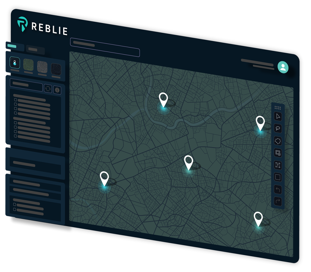
REBLIE gathers demographic data and aerial maps, combining the two to provide a powerful suite of tools for commercial real estate professionals.
With REBLIE, you’re able to collect data and assemble it in a professional, branded map that you can use for presentations, slide decks, and project planning.
When we designed REBLIE, we gave special attention to making sure the tool was powerful–but also accessible to CRE brokers who don’t have time to learn how to use a complicated tool.